Pencil Lines to the Market: The School Maps That Taught Rotherham Children to Look Closer
Photo: National Library of Ireland on The Commons, No restrictions, via Wikimedia Commons
There is a particular kind of school exercise book that still feels full of possibility. It has a soft cover, a name written in careful biro, and somewhere in the middle a page that does not quite behave like the rest. Instead of sums or spelling lists, it holds a map: Rotherham drawn in coloured pencil, with the market square a firm rectangle, the river a wobbly blue ribbon, and the road home marked in a line so heavy it has almost gone through the paper.
For generations of pupils, learning local geography was not only about continents and capital cities. It was also about the town under their feet. The school map drawer by the window — or the folder at the back of the cupboard — was where Rotherham was made small enough to hold.
A Town Learned Street by Street
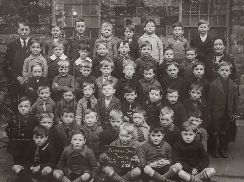
Ask anyone who went to school in Rotherham in the middle decades of the twentieth century and there is a fair chance they will remember drawing a map of their local area. Sometimes it was a simple sketch of the streets between home and school. Sometimes it was a proper effort, with a key in the corner and arrows for north.
The task sounds straightforward, but it asked quite a lot of a child. You had to notice things. Where did the shops start? Which way did the bus go? Was the church spire visible from the top of the hill, and what could you see beyond it? Pupils were being nudged into reading the town as a set of clues: the Co-op on the corner, the ginnel that cut through to the next street, the wall that marked the edge of the rec.
Teachers often began with the familiar. A plan of the classroom, perhaps, then the school yard, then the immediate streets. From there, the map could stretch outwards: the route to the market, the walk to the baths, the way to a relative’s house in Masbrough or Kimberworth. The point was not perfect accuracy. It was observation, sequence and a sense of place.
The Exercise Book as a Local Archive
What makes these school maps so appealing now is their ordinariness. They were not made for display. They were classroom work, complete with smudges, rubber marks and the occasional imaginative shortcut where a pupil decided a wall was probably a road.
In archive collections and family cupboards, such books are a reminder that local history is not only written in official surveys. It is also pencilled in by children. A map drawn by a nine-year-old in the 1960s can tell you which shops a family used, which route felt safe, which landmark was big enough to matter. It can show where a housing estate ended and open ground began, or how a child understood the shape of their neighbourhood long before they had seen an Ordnance Survey sheet.
Those paper maps also sit alongside the more formal maps held in local studies collections. The printed sheets show streets, boundaries and changing buildings with cool precision. The school maps show something else: the town as it was lived. Put them together and Rotherham becomes more than a pattern of lines. It becomes a place with favourite corners, familiar shortcuts and landmarks that mattered because you passed them every day.
Field Trips and the View From the Hill
Local field trips gave map work its legs. A class might walk to a nearby high point, or take a short journey to look at the river, the railway or the edge of the industrial landscape. Out came the clipboards. Pupils were asked to look, sketch and label.
In a town shaped by steel and coal, the skyline itself was part of the lesson. Pit stacks and works chimneys could be seen from many parts of Rotherham, and they gave children a set of compass points before they knew they were using them. The river offered another line to follow. Roads and railways cut across the map in long strokes. Churches, schools and pubs gave the streets their fixed points.
The walks were not always grand expeditions. Sometimes the best field trip was simply standing at the school gate and looking properly. What could you hear? Which direction did the smoke drift? Where did the pavement widen? Children who had run past the same wall every day began to notice the details because someone had asked them to put those details on paper.
What Was Gained When Pupils Drew Their Own Town
There is a temptation to treat old classroom maps as charming curiosities. They are certainly that. But they also record a practical kind of learning. Pupils were practising direction, scale, symbols and distance. They were learning to turn a messy, three-dimensional place into a flat plan without losing the things that made it recognisable.
More than that, they were being given a stake in the town. A child who has drawn the route to the market, labelled the church and argued over the best way to show a railway bridge has done something more than complete a worksheet. They have made a mental map they can carry. Years later, they may not remember the title of the geography chapter, but they can still picture the bend in the road or the shape of a school playground.
That is why school maps are worth rescuing from the back of drawers. They are not just evidence of lessons. They are small, personal records of how Rotherham was seen by the people who grew up in it.
Do You Still Have Yours?
Perhaps you have a folded map in an old exercise book, or a field-trip sketch with the name of a teacher in the corner. Maybe you remember drawing your street in coloured pencil and being told to add a key. Or perhaps you recall a teacher who took the class out to look at the town and made everyone stand still and count the chimneys.
If you do, Rotherham Roots would like to hear about it. School maps, however untidy, are part of the town’s learning history. They show how children came to know Rotherham street by street, landmark by landmark, and they remind us that local heritage is often kept in the humblest places: a drawer by the window, a plastic wallet, a book with a name on the front.